| | The View Question |  |
|
+11big g Ron(09rzr) keeter commando64 wvbill shawn sprint8 Roger cantly BobT Timmi gfunk 15 posters |
|
| Author | Message |
|---|
Roger cantly

Number of posts : 313
Age : 49
Location : Fairdale wv
Registration date : 2013-03-31
 |  Subject: Re: The View Question Subject: Re: The View Question  June 3rd 2014, 9:44 pm June 3rd 2014, 9:44 pm | |
| I've not seen no water fall. Where is this at? I've also heard there was a goldfish pond somewhere. | |
|
  | |
BobT

Number of posts : 293
Location : Jamestown, NC
Registration date : 2010-01-31
 |  Subject: Re: The View Question Subject: Re: The View Question  June 3rd 2014, 9:48 pm June 3rd 2014, 9:48 pm | |
| The waterfall is over near HMIR connector coming out of Northfork, it is on the trail/road that parallels the connector. There is a goldfish tank at the China Buffet. I will post a map picture of the waterfall in a few minutes. 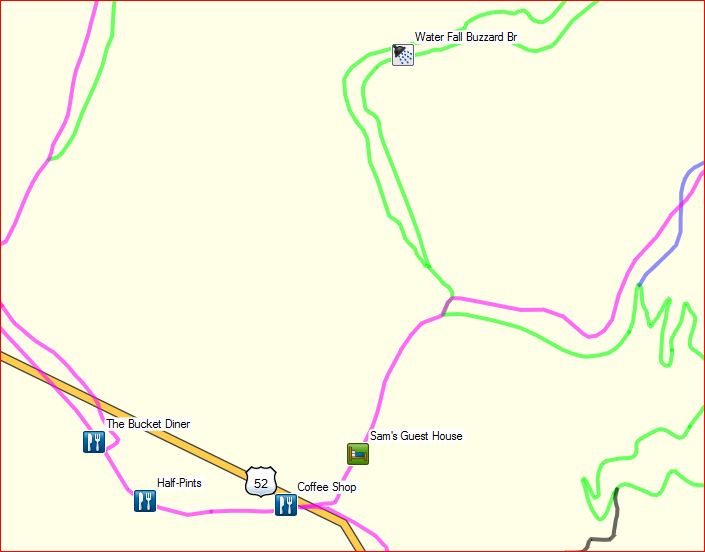 | |
|
  | |
big g
Number of posts : 3689
Age : 64
Location : Stokesdale N.C-HillTop WVA
Registration date : 2010-02-04
 |  Subject: Re: The View Question Subject: Re: The View Question  June 3rd 2014, 10:19 pm June 3rd 2014, 10:19 pm | |
| Bob i will have to say u do a fine job with the gps mapping  | |
|
  | |
BobT

Number of posts : 293
Location : Jamestown, NC
Registration date : 2010-01-31
 |  Subject: Re: The View Question Subject: Re: The View Question  June 3rd 2014, 10:32 pm June 3rd 2014, 10:32 pm | |
| Glenn, I am getting ready to release a new map and I have made a few changes. I have renamed Tolliver Lake which is the "dried up" lake above the spillway to T-Bone Lake.  | |
|
  | |
Timmi

Number of posts : 1623
Age : 70
Location : Christiansburg, Virginia
Registration date : 2012-11-25
 |  Subject: Re: The View Question Subject: Re: The View Question  June 3rd 2014, 11:09 pm June 3rd 2014, 11:09 pm | |
| is that the one Keeter calls dinosaur pond? | |
|
  | |
BobT

Number of posts : 293
Location : Jamestown, NC
Registration date : 2010-01-31
 |  Subject: Re: The View Question Subject: Re: The View Question  June 3rd 2014, 11:31 pm June 3rd 2014, 11:31 pm | |
| No, it is further south on HMPO-85. | |
|
  | |
keeter

Number of posts : 933
Age : 71
Location : Winston Salem, NC</>Hilltop Escape, WV
Registration date : 2010-06-02
 |  Subject: Re: The View Question Subject: Re: The View Question  June 3rd 2014, 11:40 pm June 3rd 2014, 11:40 pm | |
| Timmi the pond I call the dinosaur pond is Flippen Pond on Pocohontas trails system and the Goldfish pond I go to is over behind or at the view on the 1st trail to the left leaving the View. I also alway called the flag rock above PC CG Rebel Rock which also is close to what they now call the Bear cave.
Hell we all got different names for some of the same areas and I guess that what keeps it interesting. | |
|
  | |
wvbill

Number of posts : 310
Age : 47
Location : Beckley, WV
Registration date : 2011-03-30
 |  Subject: Re: The View Question Subject: Re: The View Question  June 4th 2014, 9:07 am June 4th 2014, 9:07 am | |
| Yeah, my dad was literally born on pinnacle creek...in a house near the base of the stair steps.......they always called the rock above the campground pinnacle rock.... | |
|
  | |
Timmi

Number of posts : 1623
Age : 70
Location : Christiansburg, Virginia
Registration date : 2012-11-25
 |  Subject: Re: The View Question Subject: Re: The View Question  June 4th 2014, 9:28 am June 4th 2014, 9:28 am | |
| Damn, I'm getting senile, I can't keep up with where I am or where anything is, lol! Must have been all that hash I smoked when I was younger :)
Bill, that is awesome, born right in the heart of where we ride! | |
|
  | |
kmccauley

Number of posts : 232
Age : 39
Location : Flemington, WV
Registration date : 2013-11-10
 |  Subject: Re: The View Question Subject: Re: The View Question  August 30th 2014, 8:33 am August 30th 2014, 8:33 am | |
| Looking for pointers to get to "The View" noted on BobT's map. We'll be riding Pinnacle Creek one weekend soon & am just wondering if it's best to come down "View to HMPC26" or to come down HMPC20 and head west? We're all pretty experienced riders, but don't want to get into anything too crazy. 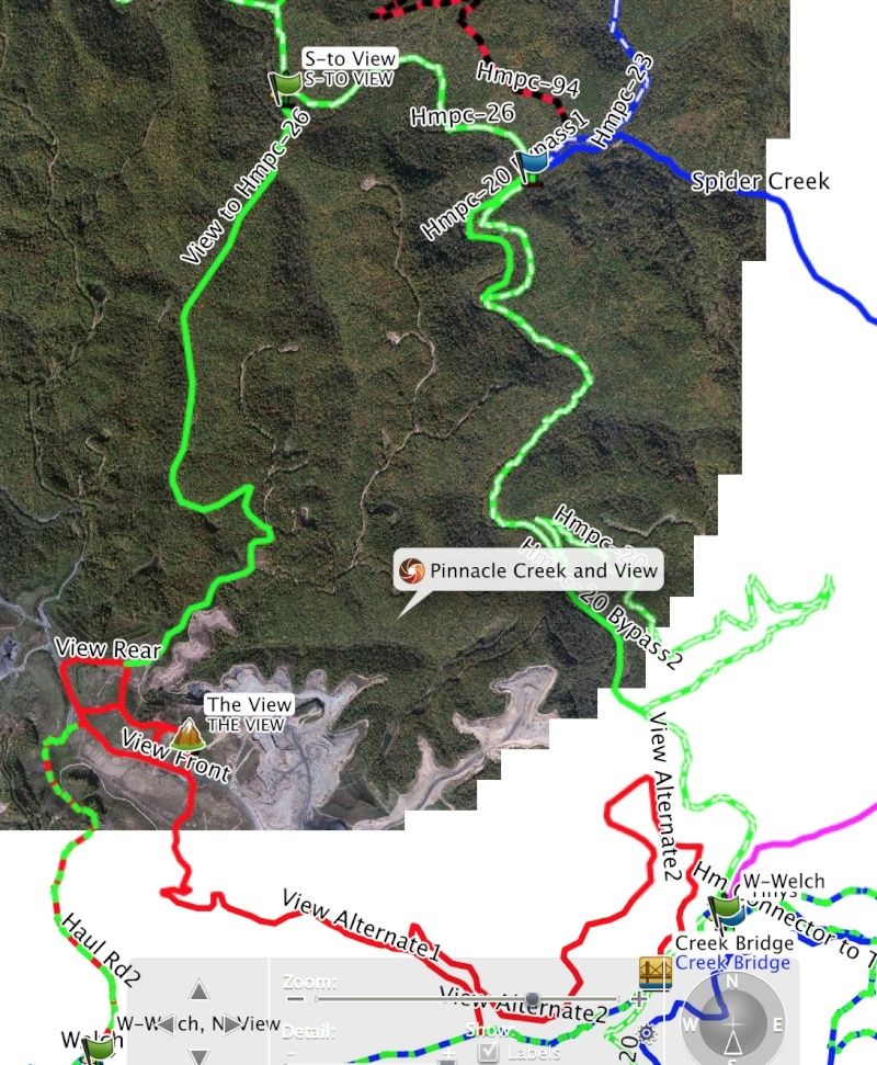 | |
|
  | |
Yotehunter66
Number of posts : 2119
Age : 58
Location : Clayton, Michigan
Registration date : 2011-03-23
 |  Subject: Re: The View Question Subject: Re: The View Question  August 31st 2014, 8:40 am August 31st 2014, 8:40 am | |
| Your maps are kick ass Bob. Thanks for all the work your doing. | |
|
  | |
sprint8
Number of posts : 147
Age : 43
Location : richmond va
Registration date : 2012-09-12
 |  Subject: Re: The View Question Subject: Re: The View Question  August 31st 2014, 1:18 pm August 31st 2014, 1:18 pm | |
| Since I can't really scroll your picture. I am pretty sure you are talking about going to the view from either the indian ridge pinnacle creek connector where you take the road from tiny's house out to the haul road and take that to the view. Or take what at one time was called the leaf trail to the view. The leaf trail other than having to cross a stream that is maybe 2 feet deep is also very easy. | |
|
  | |
kmccauley

Number of posts : 232
Age : 39
Location : Flemington, WV
Registration date : 2013-11-10
 |  Subject: Re: The View Question Subject: Re: The View Question  September 1st 2014, 8:11 am September 1st 2014, 8:11 am | |
| - sprint8 wrote:
- Since I can't really scroll your picture. I am pretty sure you are talking about going to the view from either the indian ridge pinnacle creek connector where you take the road from tiny's house out to the haul road and take that to the view. Or take what at one time was called the leaf trail to the view. The leaf trail other than having to cross a stream that is maybe 2 feet deep is also very easy.
Thanks for your input. From reading the other replies earlier in the thread it doesn't sound too bad overall. We'll pick a route and if the stream's too deep or the trail gets really steep we'll try another. I'm just not one for backtracking  !! | |
|
  | |
Punisher

Number of posts : 11
Age : 56
Location : Ohio- Mud Country
Registration date : 2014-09-24
 |  Subject: Re: The View Question Subject: Re: The View Question  October 15th 2014, 5:04 am October 15th 2014, 5:04 am | |
| | |
|
  | |
Punisher

Number of posts : 11
Age : 56
Location : Ohio- Mud Country
Registration date : 2014-09-24
 |  Subject: Re: The View Question Subject: Re: The View Question  October 15th 2014, 5:29 am October 15th 2014, 5:29 am | |
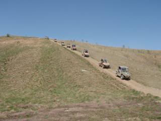
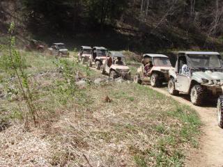
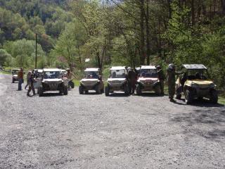
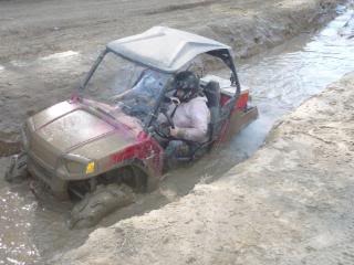
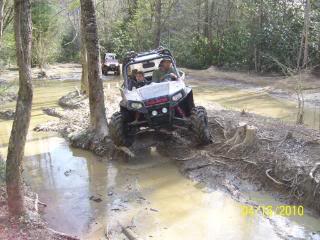
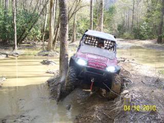
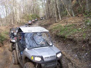
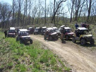
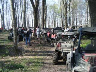
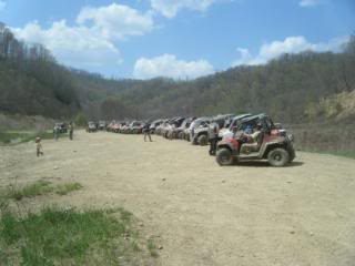
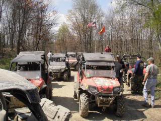
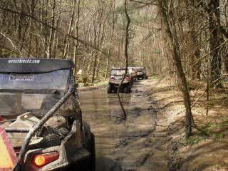
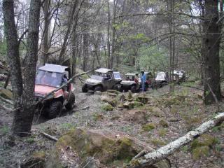
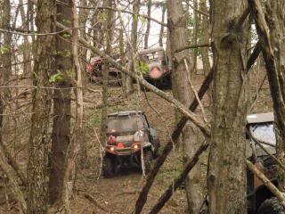
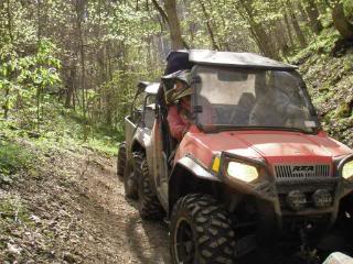
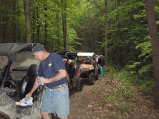
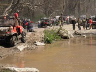
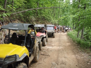
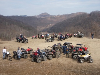
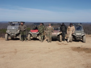
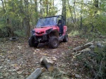
| Accessed from Pinnacle creek from HFMpc 26 near at the time HFMpc 88 black trail This was before the flood and resulting rock "levee" HFM built in the area 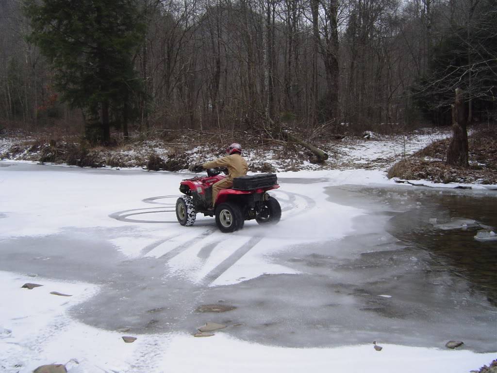 | |
|
  | |
kmccauley

Number of posts : 232
Age : 39
Location : Flemington, WV
Registration date : 2013-11-10
 |  Subject: Re: The View Question Subject: Re: The View Question  October 15th 2014, 8:04 am October 15th 2014, 8:04 am | |
| Punisher thanks for the great pics. The hill looks pretty manageable. The rock levee you mentioned, does that make the route impassable? We are yet to make it down there for a ride. | |
|
  | |
Punisher

Number of posts : 11
Age : 56
Location : Ohio- Mud Country
Registration date : 2014-09-24
 |  Subject: Re: The View Question Subject: Re: The View Question  October 15th 2014, 8:12 am October 15th 2014, 8:12 am | |
| The rock levee on HFMpc26 is pretty much gone now .
After the flood the trail maint dept built it to keep you from crossing there and to protect that section from high water I guess | |
|
  | |
Cale

Number of posts : 952
Age : 52
Location : Minford, Ohio
Registration date : 2010-12-02
 |  Subject: Re: The View Question Subject: Re: The View Question  October 15th 2014, 8:56 am October 15th 2014, 8:56 am | |
| The trail from 26 to the rear of the view is a awesome trail and you shouldn't have a problem crossing the creek coming off H/M. We were there Labor Day weekend and did it with no problem. | |
|
  | |
Sponsored content
 |  Subject: Re: The View Question Subject: Re: The View Question  | |
| |
|
  | |
| | The View Question |  |
|


